Winter transforms the Front Range into a magical, snow-covered landscape, offering a unique hiking experience for you and your dog. But venturing out on winter hiking trails near Denver requires more than just a sturdy leash and a water bowl. Changing conditions, from slick, icy patches to deep, untracked snow, demand careful planning and the right tools to ensure a safe and enjoyable outing. The beauty of a snow-hushed forest or a frosty summit view is unparalleled, but preparation is the key to unlocking these moments without unnecessary risk.
This guide is designed for busy Denver pet parents who want to keep their high-energy companions active and enriched throughout the colder months. We will walk you through seven essential resources, from advanced navigation apps to hyper-local land management websites, that will help you find, plan, and safely execute the best dog-friendly winter hikes. For those getting ready for their own winter adventure, it can be inspiring and informative to learn from diverse winter expedition experiences to understand the full scope of cold-weather preparation.
Each resource profile in this listicle includes a direct link and practical examples of how to use it effectively for winter conditions. We'll cover everything from assessing real-time trail conditions and understanding potential avalanche risks to ensuring both you and your furry companion have the proper gear. And if you're seeking an expert-led adventure, we'll explain how Denver Dog's guided hikes provide a safe, convenient, and hassle-free way to explore Colorado's winter wonderland with confidence.
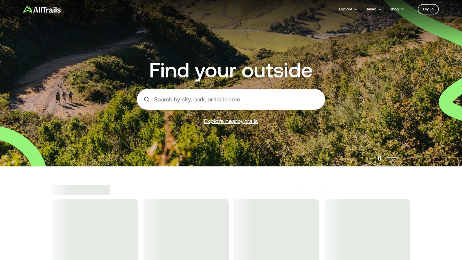
1. AllTrails
AllTrails is arguably the most dominant force in trail discovery, and for good reason. Its massive, user-driven database of over 450,000 trails worldwide makes it an indispensable starting point for finding suitable winter hiking trails near Denver. Its strength lies in its robust filtering system and the sheer volume of recent, real-world user feedback, which is critical for winter conditions.
You can easily filter trails by dog-friendliness, specifying whether dogs must be on-leash or if off-leash areas are available. This feature alone saves immense time and prevents unwelcome surprises at the trailhead. More importantly for winter, the recent "Conditions" reports from fellow hikers provide invaluable, near-real-time intel on snow depth, icy patches, and whether microspikes or snowshoes were necessary.
Why It Excels for Denver Winter Hikers
The platform's large and active Colorado community is its biggest asset. A popular Front Range trail might have dozens of condition reports and photos posted within a single week, offering a clear picture of what to expect before you even leave home. This user-generated content often includes specific details about parking lot conditions, wind exposure, and precise locations of slick spots.
While the free version is highly functional for basic discovery, the paid AllTrails+ subscription is a worthwhile investment for serious winter hikers. The ability to download offline maps is crucial, as cell service is often unreliable in the mountains, and a whiteout can obscure trail markers. The "wrong-turn" alert feature adds a significant layer of safety, especially on less-trafficked trails where a single wrong turn in deep snow can be dangerous.
Key Features & Subscription Tiers
Here's a quick comparison of what you get with each plan:
| Feature | Free Tier | AllTrails+ ($35.99/year) | AllTrails Peak ($69.99/year) |
|---|---|---|---|
| Trail Discovery & Filters | ✅ | ✅ | ✅ |
| User Condition Reports | ✅ | ✅ | ✅ |
| Download Offline Maps | ❌ | ✅ | ✅ |
| Wrong-Turn Alerts | ❌ | ✅ | ✅ |
| Live Activity Sharing | ❌ | ✅ | ✅ |
| 3D Trail Previews | ❌ | ❌ | ✅ |
| Custom Route Builder | ❌ | ❌ | ✅ |
Pro Tip: Before committing to a subscription, watch for seasonal promotions. AllTrails often runs sales around major holidays, offering significant discounts on the annual AllTrails+ plan.
For those wanting to learn more about essential tools for local adventures, we have a detailed guide covering the 7 essential resources for the best dog-friendly hikes Colorado offers in 2026 .
Website: https://www.alltrails.com/
2. Gaia GPS
Where AllTrails excels in community-driven data, Gaia GPS is the professional-grade tool for serious backcountry navigation and meticulous planning. For hikers venturing onto less-trafficked or more complex winter hiking trails near Denver, Gaia GPS offers an unparalleled level of detail and safety-oriented features. Its strength lies not in user reviews but in its powerful, layered mapping technology, which is indispensable for assessing winter-specific hazards.
Gaia GPS is built for those who want to understand the terrain on a deeper level. You can overlay multiple map sources, such as USFS maps, satellite imagery, and premium topographic charts. For winter hiking, its most critical feature is the ability to add layers like slope-angle shading. This allows you to visually identify terrain steep enough to present an avalanche risk before you even step foot on the trail, a crucial planning step for many Front Range hikes.
Why It Excels for Denver Winter Hikers
Gaia GPS is the go-to platform for adventurers who prioritize self-sufficiency and detailed route planning. The extensive United States Forest Service (USFS) and topographical map coverage for the Front Range is second to none. This makes it an essential tool when planning routes in areas like the Indian Peaks Wilderness or Roosevelt National Forest, where cell service is non-existent and trail conditions can change rapidly.
While it has a steeper learning curve than more casual apps, the investment in learning the platform pays dividends in safety and confidence. The ability to download vast, high-resolution map sections for full offline use is its core strength. This ensures you have reliable navigation even in a whiteout or when your planned trail is obscured by deep snow. For the dedicated winter hiker, these technical features transform it from a simple map into a critical piece of safety equipment.
Key Features & Subscription Tiers
Here’s a breakdown of what Gaia GPS offers at each level:
| Feature | Free Tier | Gaia GPS Premium ($39.99/year) |
|---|---|---|
| Trail Discovery & Basic Maps | ✅ | ✅ |
| Track Your Hike | ✅ | ✅ |
| Download Offline Topo Maps | ❌ | ✅ |
| 250+ Specialized Map Layers | ❌ | ✅ |
| Slope Angle & Avalanche Layers | ❌ | ✅ |
| Premium USFS & Topo Maps | ❌ | ✅ |
| Print Custom Maps | ❌ | ✅ |
Pro Tip: Spend time on the web-based version of Gaia GPS for your initial planning. The larger screen makes it much easier to analyze terrain, overlay different map layers, and plot your potential route before syncing it to your phone for in-field navigation.
Website: https://www.gaiagps.com/
3. Colorado Trail Explorer (COTREX)
While crowdsourced platforms offer volume, Colorado Trail Explorer (COTREX) provides something equally crucial: official, authoritative data. As the official trail app from the State of Colorado, it aggregates information directly from over 225 land managers, making it the definitive source for verifying trail status, rules, and access points for winter hiking trails across the Front Range.
COTREX is an indispensable tool for confirming the nitty-gritty details that user-generated apps can sometimes miss, such as seasonal wildlife closures, parking regulations, or specific leash laws enforced by a particular county or land trust. For winter hikers, its ability to filter for designated snowshoeing or Nordic skiing routes helps identify trails specifically managed for winter use. You can trust that the trail alignments and jurisdictional boundaries are accurate, which is vital when navigating a landscape where public and private lands often intertwine.
Why It Excels for Denver Winter Hikers
The platform’s greatest strength is its reliability. When a trail is marked as open on COTREX, you can be confident that information comes directly from the managing agency, such as Jefferson County Open Space or Colorado Parks and Wildlife. This eliminates the guesswork and potential for misinformation that can lead to showing up at a closed or inaccessible trailhead, a particularly frustrating experience in cold weather.
The app is completely free and highly functional, offering offline map downloads without a subscription, a key advantage for navigating areas with poor cell reception. While it lacks the sheer volume of recent user condition reports found on other platforms, it serves as the perfect complement. Use AllTrails for real-time snow intel, then cross-reference with COTREX to confirm the official status and rules for your chosen route.
Key Features & Subscription Tiers
COTREX simplifies its offering by providing all core features for free, making it accessible to every hiker.
| Feature | Free Tier |
|---|---|
| Official Land Manager Data | ✅ |
| Trail Discovery & Filters | ✅ |
| Download Offline Maps | ✅ |
| Snowshoeing & Skiing Filters | ✅ |
| Record GPS Tracks | ✅ |
| Completely Free to Use | ✅ |
Pro Tip: Use the "Featured Routes" section within the app. Land managers often highlight well-maintained or particularly scenic winter routes, which can be a great way to discover new, reliable trails that are prepared for cold-weather traffic.
For those wanting to learn more about essential tools for local adventures, we have a detailed guide covering the 7 essential resources for the best dog-friendly hikes Colorado offers in 2026 .
Website: https://trails.colorado.gov/
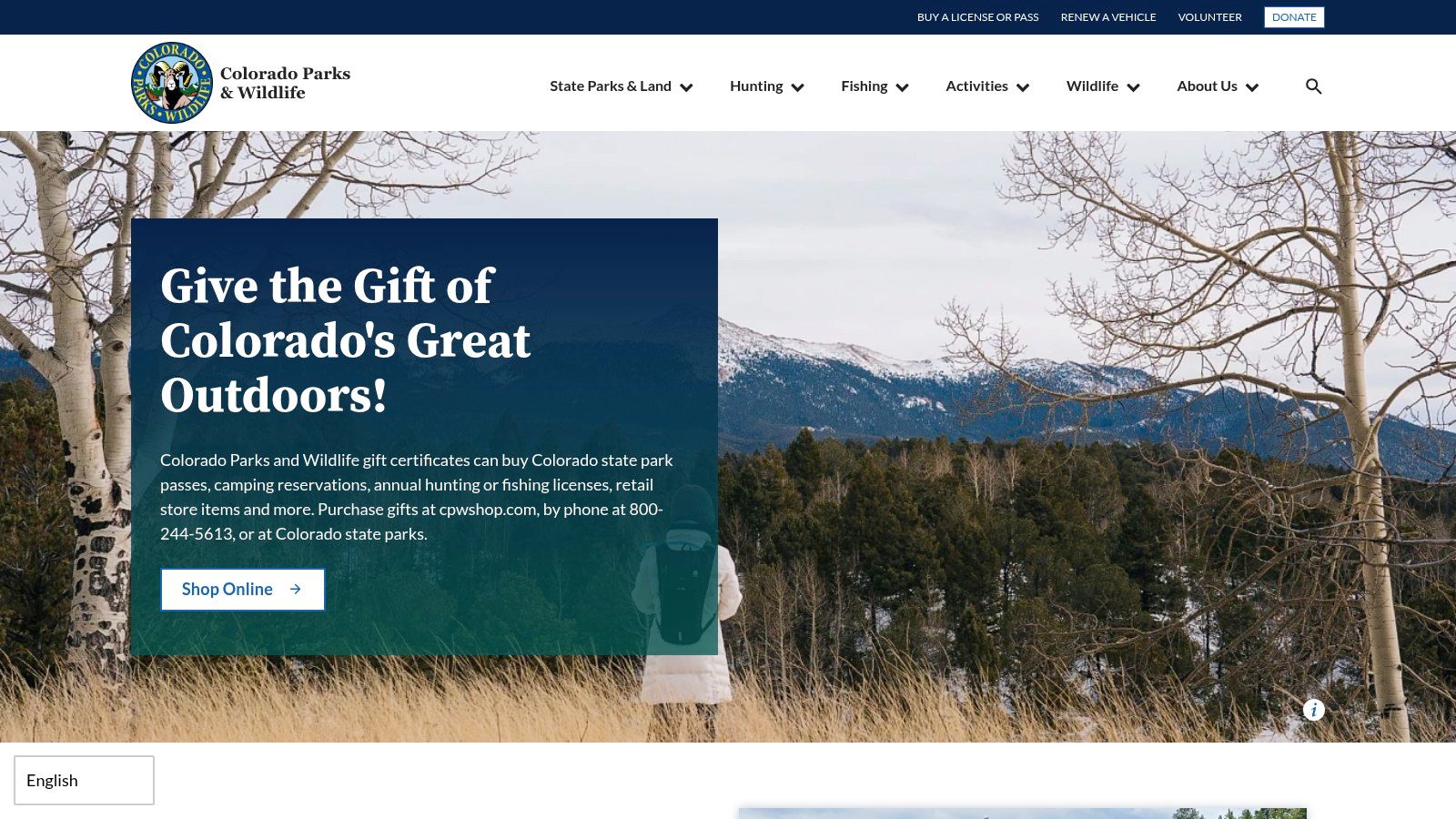
4. Colorado Parks & Wildlife (CPW)
While not a trail discovery app in the same vein as AllTrails, the official Colorado Parks & Wildlife (CPW) website is an essential planning resource for accessing many of the best state-managed winter hiking trails . Its primary role is providing the official, up-to-date information on park passes, access rules, and facility status, which are critical details that can change rapidly during the winter months. Before heading to popular spots like Golden Gate Canyon State Park or Staunton State Park, this should be your first stop.
The website allows you to purchase required daily or annual park passes online, saving you time at the entrance gate. It also clearly outlines the Keep Colorado Wild Pass, an affordable annual pass option available through your vehicle registration. Using the CPW site ensures you have the correct pass and are aware of any park-specific winter closures, a common occurrence for certain roads or trailheads due to snow or wildlife activity.
Why It Excels for Denver Winter Hikers
The CPW website is the single source of truth for state park regulations. For Denver dog owners, this is where you can confirm leash rules (most state parks require dogs to be on a 6-foot leash at all times) and find official park alerts about trail conditions or wildlife sightings. This direct-from-the-source information is far more reliable than third-party apps, which may not be updated as quickly.
Navigating the site is straightforward. Each state park has a dedicated page with an "Alerts" section prominently displayed, offering real-time updates on parking lot capacity, icy road warnings, and trail closures. This helps prevent the frustrating experience of driving an hour to a trailhead only to find it inaccessible. Planning your state park adventures is made simple by having all the necessary logistical information in one place.
Key Features & Pass Tiers
Here’s a look at the most common pass options available through the CPW website for park entry:
| Feature | Daily Vehicle Pass | Annual Parks Pass | Keep Colorado Wild Pass |
|---|---|---|---|
| Single-Day Park Access | ✅ | ✅ | ✅ |
| Access to All 43 State Parks | ❌ | ✅ | ✅ |
| Purchase Method | Online or at Park | Online or at Park/Office | Through CO Vehicle Registration |
| Price (as of 2024) | ~$10-11 per vehicle | ~$84-126 per vehicle | $29 per vehicle |
| Supports State Programs | ✅ | ✅ | ✅ |
Pro Tip: If you visit state parks even three or four times a year, the Keep Colorado Wild Pass, purchased during your vehicle registration, offers immense value and is the most cost-effective way to get an annual pass.
For a curated list of destinations where these passes are useful, check out our guide to the 7 Paw-Approved Winter Hikes Near Denver for You and Your Dog .
Website: https://cpw.state.co.us/parks-passes
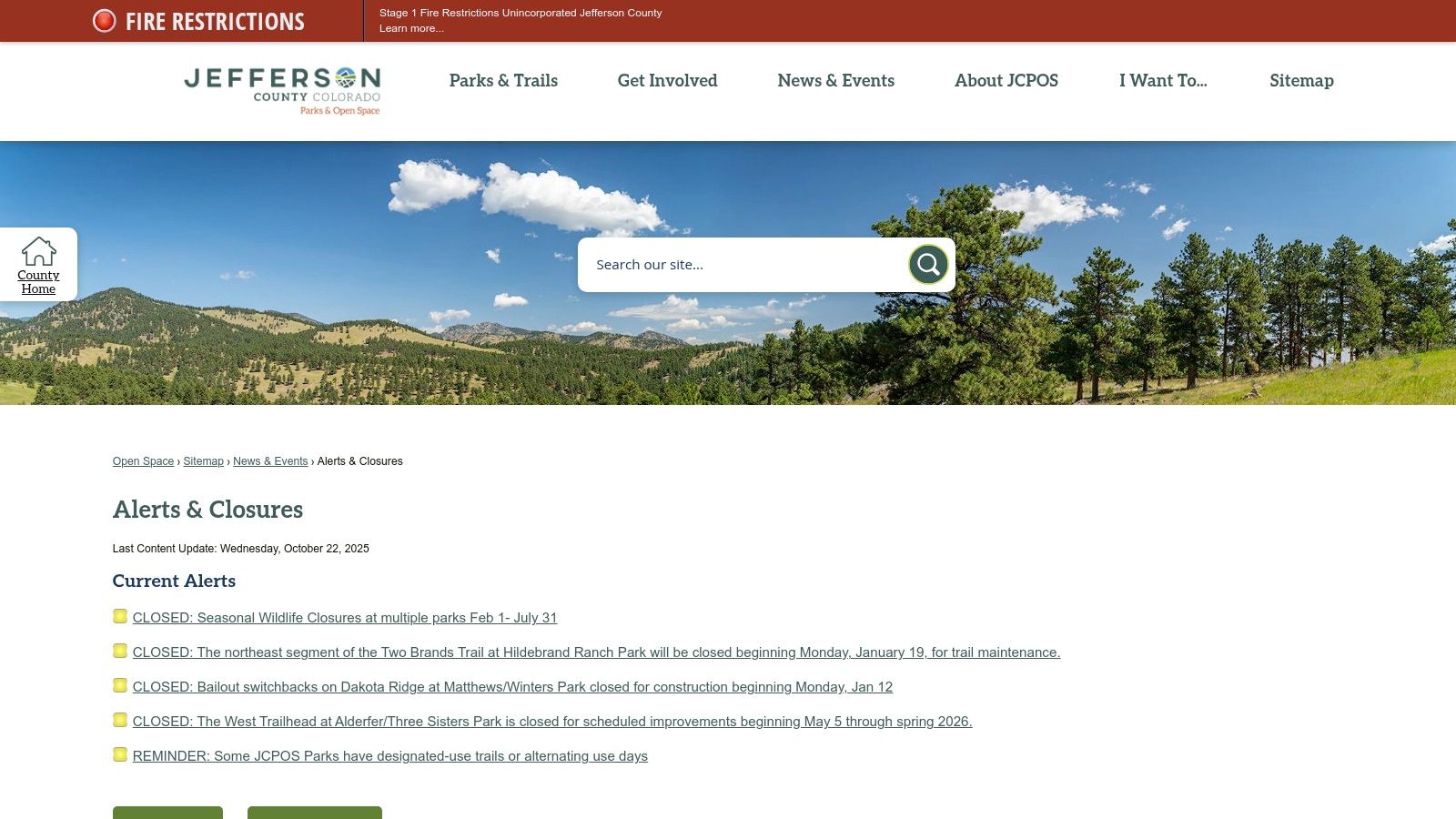
5. Jefferson County Open Space
While apps provide crowd-sourced information, the official Jefferson County Open Space (Jeffco) website is the definitive source for ground-truth regulations and alerts. Many of Denver's most accessible winter hiking trails fall under Jeffco's jurisdiction, including Apex Park, Matthews/Winters, and North Table Mountain. This website is non-negotiable for pre-hike checks, as it provides official, up-to-the-minute information on closures and leash laws directly from the managing authority.
Its primary strength for winter hikers is the "Alerts & Closures" page. This section details temporary trail closures due to muddy conditions, seasonal wildlife restrictions (like raptor nesting areas), or maintenance. This is crucial in the shoulder seasons and during freeze-thaw cycles when a trail that was frozen solid in the morning can become a muddy mess by afternoon, triggering a closure.
Why It Excels for Denver Winter Hikers
Unlike user-generated reports which can be subjective or outdated, Jeffco provides the official word. This is particularly important for dog owners, as the site clearly states the specific leash laws for each park, often stipulating a maximum leash length (typically 10 feet). Knowing these rules beforehand helps avoid potential fines and ensures you and your dog are compliant and safe.
The website also links to individual park pages, which contain detailed maps and information about specific trail regulations. While it lacks the interactive, real-time navigation of an app like AllTrails, it serves as the essential first step in your planning process. You check Jeffco for closures and rules, then use a mapping app for on-trail navigation.
Key Features & Benefits
This resource is a free public service, making all its information accessible without a subscription. Here’s a breakdown of its most critical features for winter hikers.
| Feature | Description | Benefit for Dog Owners |
|---|---|---|
| Official Alerts & Closures | County-managed page with real-time park and trail status updates. | Prevents you from driving to a closed trailhead due to mud or wildlife. |
| Park-Specific Regulations | Detailed rules for each open space park, including hours and trail use. | Clearly outlines on-leash requirements, leash length, and off-leash areas. |
| Seasonal Wildlife Closures | Information on areas closed to protect nesting raptors or migrating elk. | Keeps you and your dog away from sensitive wildlife, ensuring safety for all. |
| Printable Park Maps | Downloadable PDF maps for each park, useful as a backup to digital navigation. | Provides a reliable, battery-free map in areas with poor cell service. |
Pro Tip: Bookmark the "Alerts & Closures" page on your phone's home screen. Make it a habit to check it right before you leave the house, as conditions and closures can change with little notice, especially during unpredictable spring snowstorms.
Understanding local rules is just one part of the equation. To learn more about navigating challenging terrain with your companion, check out our guide on navigating difficult trails with your dog in Colorado .
6. REI Co-op
While not a trail-finding app, REI Co-op is an essential resource for equipping and educating yourself for winter hiking trails around Denver. Its role is foundational: ensuring you and your dog have the right gear and knowledge to tackle snowy and icy conditions safely. From essential traction devices to beginner-friendly educational courses, REI bridges the gap between wanting to hike in winter and actually doing it with confidence.
The website and physical Denver-area stores are treasure troves of winter-specific equipment. You can find everything from microspikes and snowshoes to insulated boots and technical layering systems. Crucially, their online guides and in-store experts can help you understand why you need certain items and how to use them properly, preventing common and potentially dangerous mistakes on the trail.
Why It Excels for Denver Winter Hikers
REI's value extends beyond retail. The co-op regularly hosts local classes and events, such as "Snowshoeing Basics" or "Winter Hiking Essentials," which are perfect for those new to Colorado's winter landscape. These workshops provide hands-on experience and practical advice tailored to Front Range conditions, covering topics like what to pack, how to layer clothing, and how to use traction devices effectively.
The ability to visit a local store in Denver, Englewood, or Boulder to try on gear is a significant advantage. Getting the right fit for winter boots or snowshoes is critical for comfort and safety, and the in-person advice from experienced staff is invaluable. Their generous return policy and member benefits (like annual dividends) also make it a low-risk place to invest in quality winter gear that will last for seasons.
Key Features & Member Perks
Here’s a breakdown of what makes REI a go-to resource:
| Feature | Details |
|---|---|
| Winter Gear Selection | Extensive inventory of microspikes, snowshoes, poles, layers, and dog gear. |
| In-Person Expertise | Denver-area store staff provide tailored advice for local trail conditions. |
| Educational Classes | Offers beginner-friendly courses like "Snowshoeing Basics" and navigation workshops. |
| Online Buying Guides | Detailed articles and videos explaining how to choose and use winter equipment. |
| Member Benefits | Annual dividend, special member-only deals, and a famously good return policy. |
Pro Tip: Check the events calendar for the Denver Flagship or your local REI store online. Classes can fill up quickly as winter approaches, so it's wise to book your spot in a "Snowshoeing Basics" or "Winter Preparedness" workshop well in advance.
Website: https://www.rei.com/
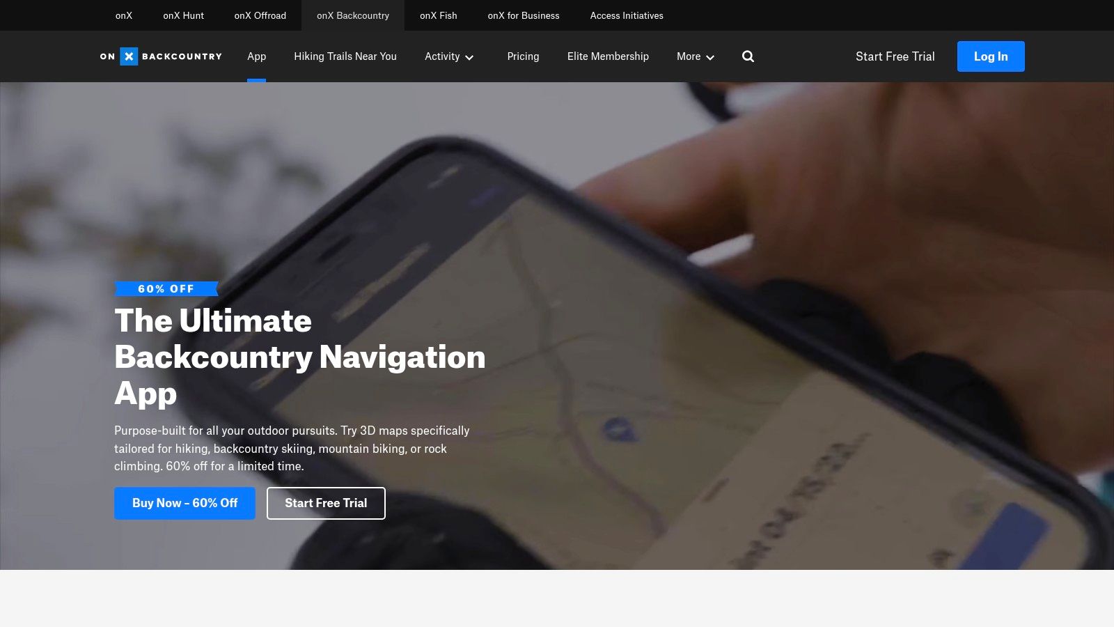
7. onX Backcountry
While AllTrails excels at trail discovery, onX Backcountry is the go-to tool for serious terrain analysis and safety planning. It transitions users from simply finding popular winter hiking trails to truly understanding the landscape. Its powerful, winter-specific mapping layers are designed to help you make smarter, safer decisions when avalanche terrain is a concern, a critical skill for anyone venturing into the Colorado high country.
onX Backcountry complements discovery apps by providing the granular detail needed to assess a route's risk. Instead of relying solely on user comments, you can directly visualize slope angles, identify avalanche-prone terrain using the Avalanche Terrain Exposure Scale (ATES) layer, and study 3D maps to understand the topography before you go. This makes it an essential tool for route planning, especially when exploring less-trafficked or more complex trails.
Why It Excels for Denver Winter Hikers
For Denver hikers looking to push their skills beyond well-trodden paths, onX Backcountry provides professional-grade tools. The slope angle shading feature instantly highlights terrain steeper than 30 degrees, the prime angle for slab avalanches. By overlaying this with your intended route, you can easily identify and avoid potentially hazardous areas.
The platform is not just about avoiding danger; it's about enabling adventure. Its custom route-building tool and extensive guidebook-style information allow for meticulous planning. The unlimited offline maps are robust and essential for navigation in remote areas without cell service. While the interface is geared more toward experienced backcountry users, its focus on safety and detailed terrain data is invaluable for anyone taking winter hiking seriously.
Key Features & Subscription Tiers
Here’s a breakdown of what the different onX Backcountry plans offer:
| Feature | Free Tier | Premium ($29.99/year) | Elite ($99.99/year) |
|---|---|---|---|
| Trail Discovery & Photos | ✅ | ✅ | ✅ |
| Custom Waypoints & Tracking | ✅ | ✅ | ✅ |
| Unlimited Offline Maps | ❌ | ✅ | ✅ |
| Slope Angle Shading | ❌ | ✅ | ✅ |
| Recent Satellite Imagery | ❌ | ✅ | ✅ |
| ATES Layer | ❌ | ❌ | ✅ |
| Public/Private Land Data | ❌ | ❌ | ✅ |
Pro Tip: Utilize the free trial for the Elite tier before a big trip. This lets you access advanced features like the ATES layer and private land boundaries to plan a specific, complex route without a full-year commitment.
Ensuring your four-legged companion is also prepared for these conditions is just as important as your own gear. For a complete overview, explore our guide to dog hiking clothes: essential gear for safe, cozy trail adventures .
Website: https://www.onxmaps.com/backcountry/
Winter Hiking Trails: 7-Source Comparison
| Tool | Complexity 🔄 | Resources ⚡ | Expected outcomes ⭐📊 | Ideal use cases 💡 | Key advantages |
|---|---|---|---|---|---|
| AllTrails | Low–Moderate 🔄 — intuitive discovery; busy UI | Smartphone + optional Plus/Peak subscription ⚡ — paid offline/navigation features | ⭐⭐⭐ 📊 — good trail discovery and frequent local condition reports; variable user-submitted accuracy | Finding winter/dog‑friendly hikes, parking info, quick condition checks | Large trail database; photos & user reports; affordable entry tier |
| Gaia GPS | High 🔄 — steeper learning curve for advanced layers | Subscription for premium maps; capable device & storage ⚡ | ⭐⭐⭐⭐ 📊 — professional topo and winter planning tools; strong Front Range coverage | Detailed winter route planning, avalanche-aware navigation, low‑coverage outings | 250+ layers; slope/avalanche overlays; full offline & print maps |
| Colorado Trail Explorer (COTREX) | Low 🔄 — straightforward official data access | Free web/mobile app; minimal device needs ⚡ | ⭐⭐⭐ 📊 — authoritative trail alignments and land‑manager info | Verifying official routes, closures, land‑manager rules across Colorado | Official statewide data aggregated from land managers; free |
| Colorado Parks & Wildlife (CPW) | Low 🔄 — simple site for passes & alerts | Web access; payment for park passes ⚡ | ⭐⭐ 📊 — ensures correct pass/fee planning and park‑level alerts | Purchasing state park passes; checking park‑specific conditions and fees | Official pass sales and KCW pass info; park condition pages |
| Jefferson County Open Space | Low 🔄 — focused alerts and rules pages | Web access; pair with mapping app for navigation ⚡ | ⭐⭐⭐ 📊 — most reliable local closures, leash rules, and seasonal restrictions | Confirming local closures, leash policies, and enforcement before visits | Up‑to‑date local alerts; explicit dog policies and enforcement details |
| REI Co‑op | Low 🔄 — retail & instructional offerings | In‑store purchases/classes; online shopping; rentals vary ⚡ | ⭐⭐ 📊 — equips and trains users for safer winter outings | Buying/fitting traction, snowshoes, layers; beginner snowshoe classes | In‑person fitting/advice; classes and reliable returns/service |
| onX Backcountry | Moderate–High 🔄 — geared to experienced backcountry users | Subscription (Elite for advanced layers); offline storage ⚡ | ⭐⭐⭐⭐ 📊 — strong terrain assessment and safer route selection tools | Backcountry winter route planning, ATES-aware navigation, 3D terrain scouting | ATES & slope shading, 3D terrain, extensive offline maps and route tools |
Hit the Trails with Confidence and an Expert by Your Side
The crisp air, snow-dusted peaks, and quiet beauty of Colorado's Front Range offer a unique reward for those willing to brave the cold. With the right preparation and resources, you and your canine companion can safely explore the stunning network of winter hiking trails right in Denver's backyard. The seven tools we've explored provide a comprehensive toolkit for planning, navigating, and gearing up for any cold-weather adventure.
You now have a powerful arsenal at your fingertips. By cross-referencing information, you can build a complete picture of your intended hike before ever leaving home, ensuring a safer and more enjoyable experience for both you and your dog.
From Digital Planning to On-Trail Execution
Your journey begins with discovery. Use platforms like AllTrails and the Colorado Trail Explorer (COTREX) to find trails that match your desired difficulty, distance, and dog-friendly regulations. These resources are invaluable for initial research, offering user reviews and essential trail stats to narrow down your options.
Once you have a few winter hiking trails in mind, it's time for a deeper analysis. This is where specialized GPS apps like Gaia GPS and onX Backcountry shine. Use their detailed topographic maps and satellite imagery to identify potential hazards like steep, north-facing slopes that hold ice or areas with high avalanche exposure. Layering this information gives you a professional-grade understanding of the terrain.
Staying Current and Gearing Up
Before you head out, your final checks should always involve official sources. The websites for Jefferson County Open Space and Colorado Parks & Wildlife (CPW) provide the most accurate, up-to-the-minute information on trail closures, wildlife advisories, and specific park regulations. This step is non-negotiable for winter safety.
Finally, proper gear is the cornerstone of a successful winter hike. A visit to a resource like REI Co‑op allows you to consult with experts and equip both yourself and your pup with the necessary traction, layers, and safety equipment. Remember, having the right gear is just as important as choosing the right trail.
Choosing the Right Tool for Your Needs
Selecting the best resource depends entirely on your immediate goal. Here’s a quick guide to help you choose:
- For Broad Discovery & Reviews: Start with AllTrails . Its massive database and community feedback are perfect for finding new ideas.
- For In-Depth Terrain Analysis: Use Gaia GPS or onX Backcountry . These are essential for serious hikers who need to understand topography and potential risks.
- For Official State-Wide Info: Rely on COTREX and CPW . These are your go-to sources for official regulations and conditions across Colorado.
- For Hyper-Local JeffCo Conditions: Check the Jefferson County Open Space website for the most current alerts on popular Front Range parks.
To truly hit the trails with confidence and an expert by your side, comprehensive planning is essential. Learn how to plan a backpacking trip effectively, including destination choice and logistics, to ensure a smooth winter adventure. By mastering these planning stages, you transform a potentially hazardous outing into a well-managed and memorable experience.
Winter in the Rockies is a magical season, offering solitude and breathtaking landscapes. By leveraging these digital tools, official resources, and expert advice, you are fully equipped to embrace the season. Plan diligently, pack smartly, and step onto the trail with the confidence that you've prepared for a safe, fun, and unforgettable hike with your best friend.
Ready to explore Denver's best winter hiking trails but short on time? Let Denver Dog take the lead with our curated, on-leash Dog Hiker adventures, ensuring your pup gets the safe, structured exercise they need. Visit Denver Dog to book a guided hike with our experienced handlers and give your dog the gift of a winter wonderland adventure.
The Run Down